


Navigation System
Ref: AGR260064
Address: The Navigation Cut, Off Carre Street, Sleaford, Lincolnshire, NG34 7TL
Brochure
View BrochureDescription
Situation
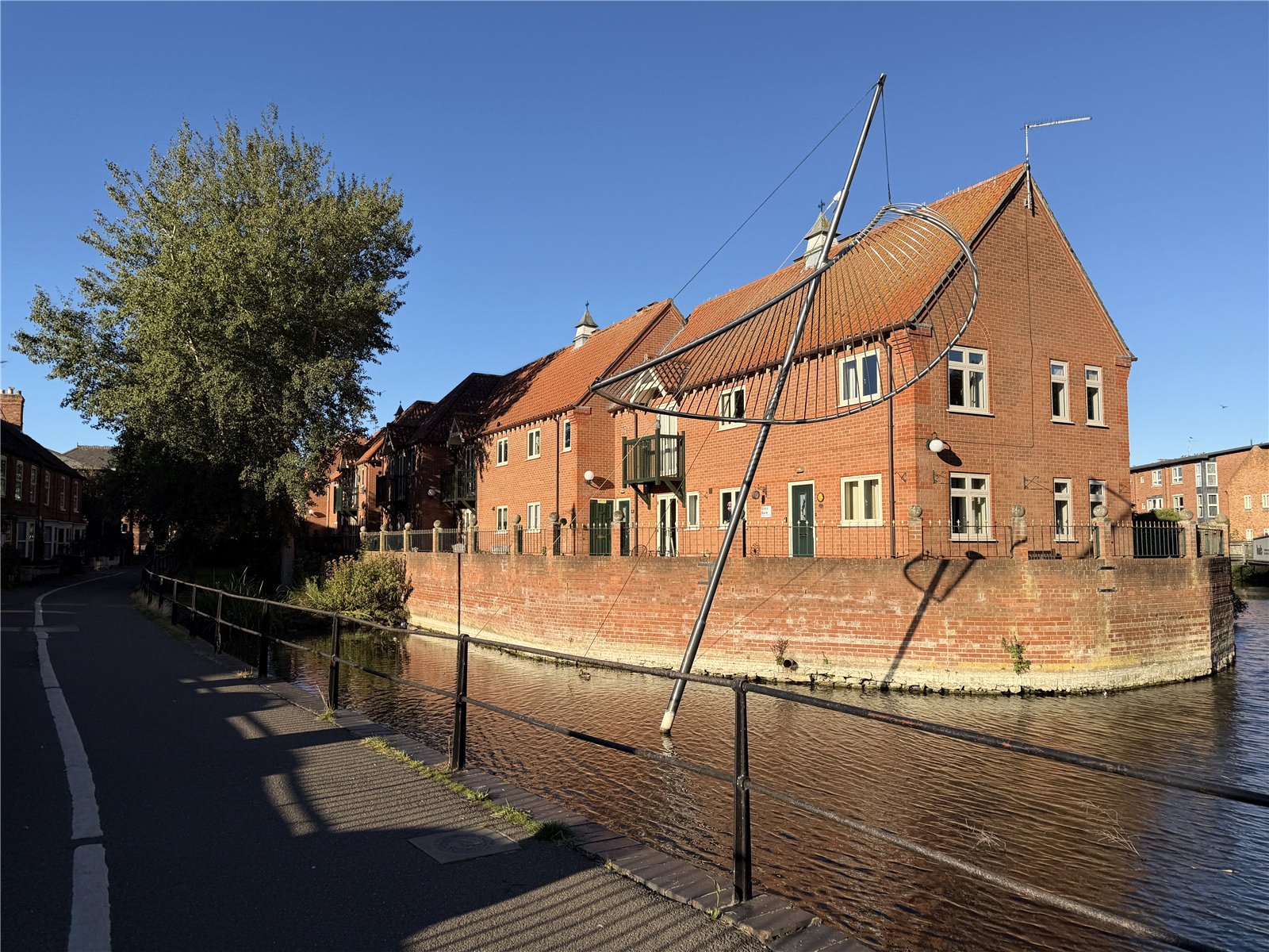
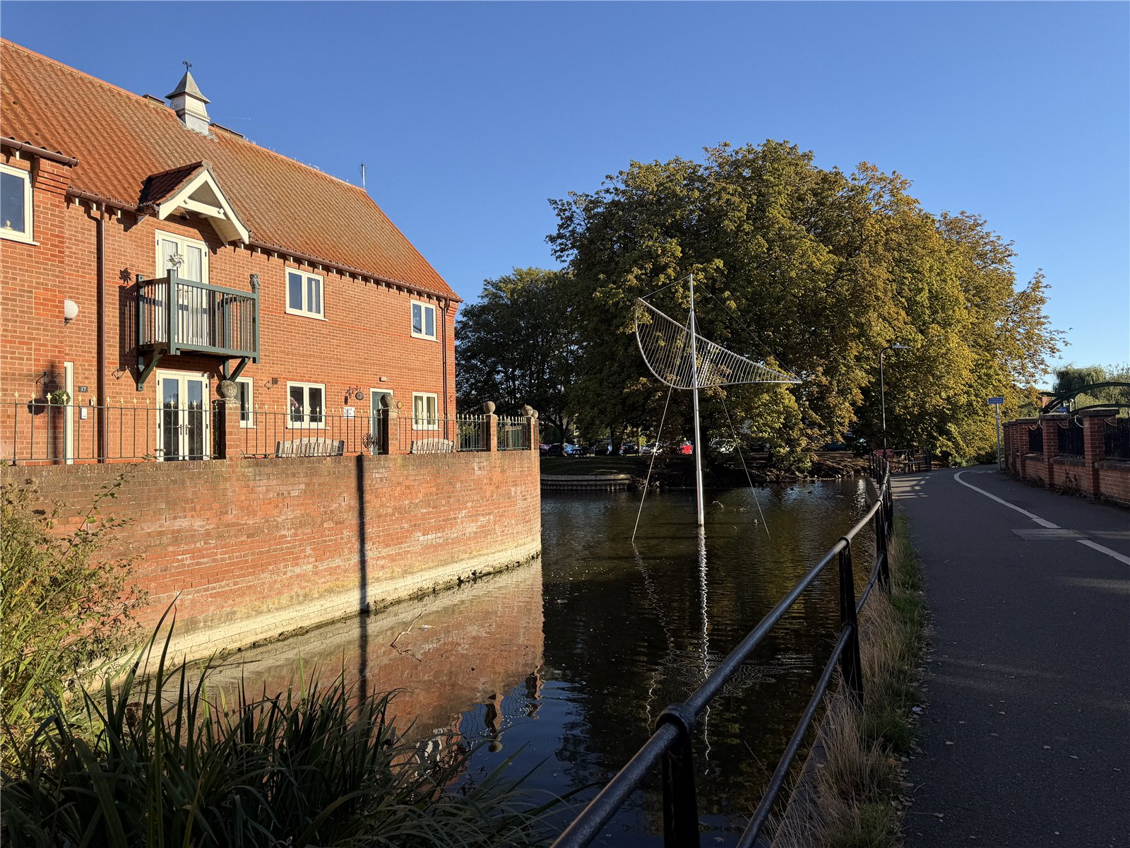
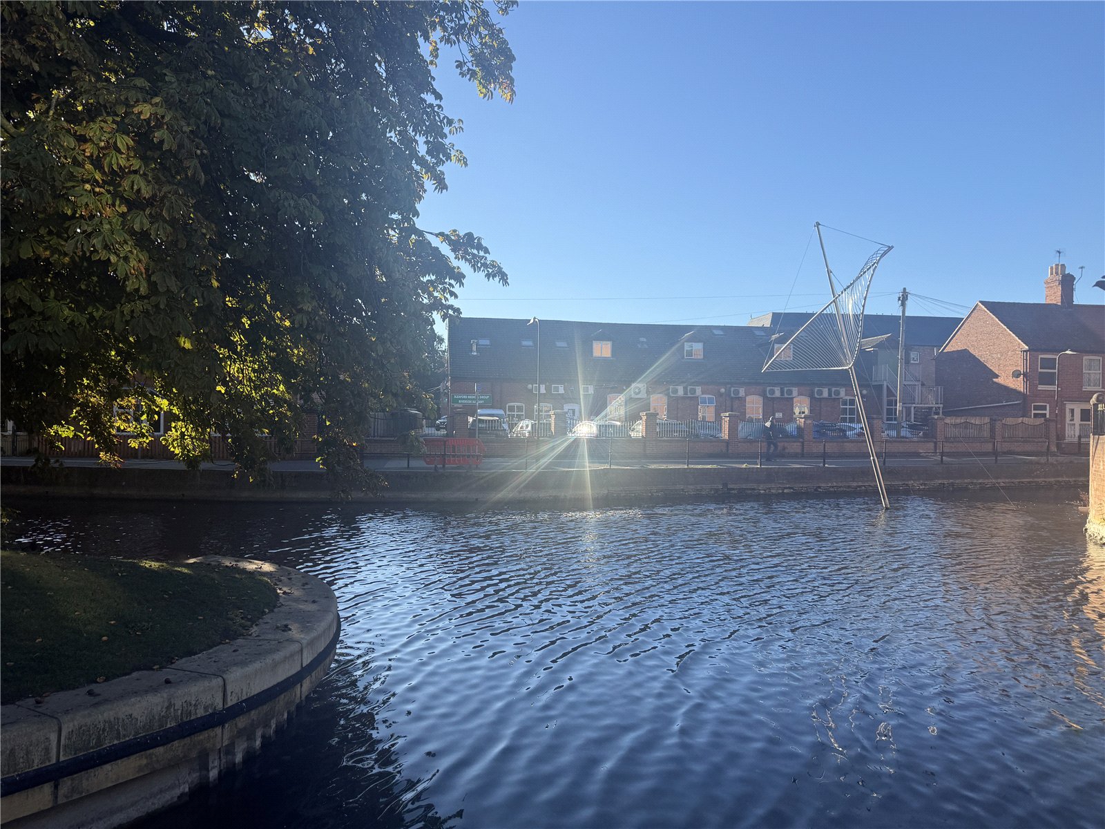
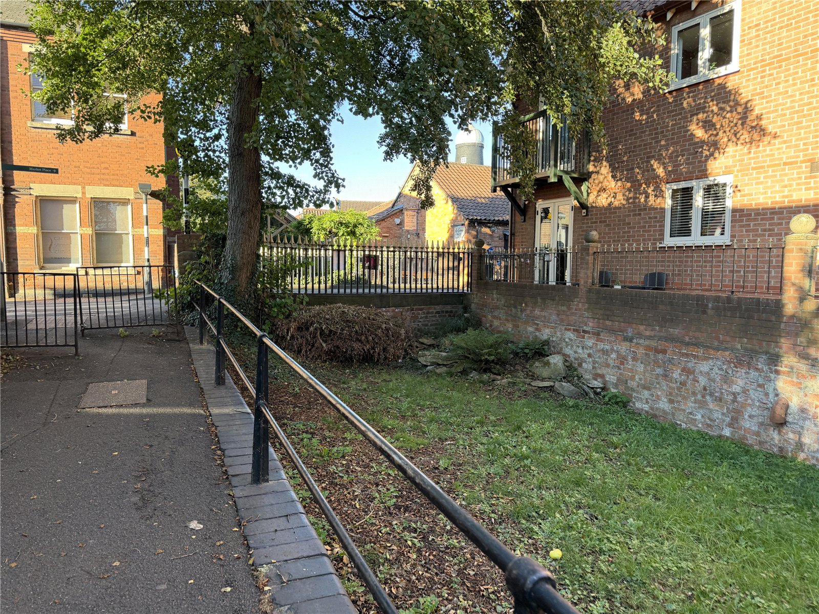
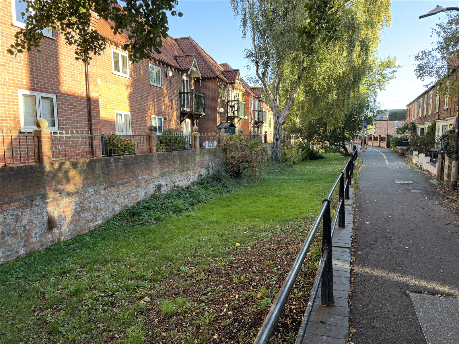
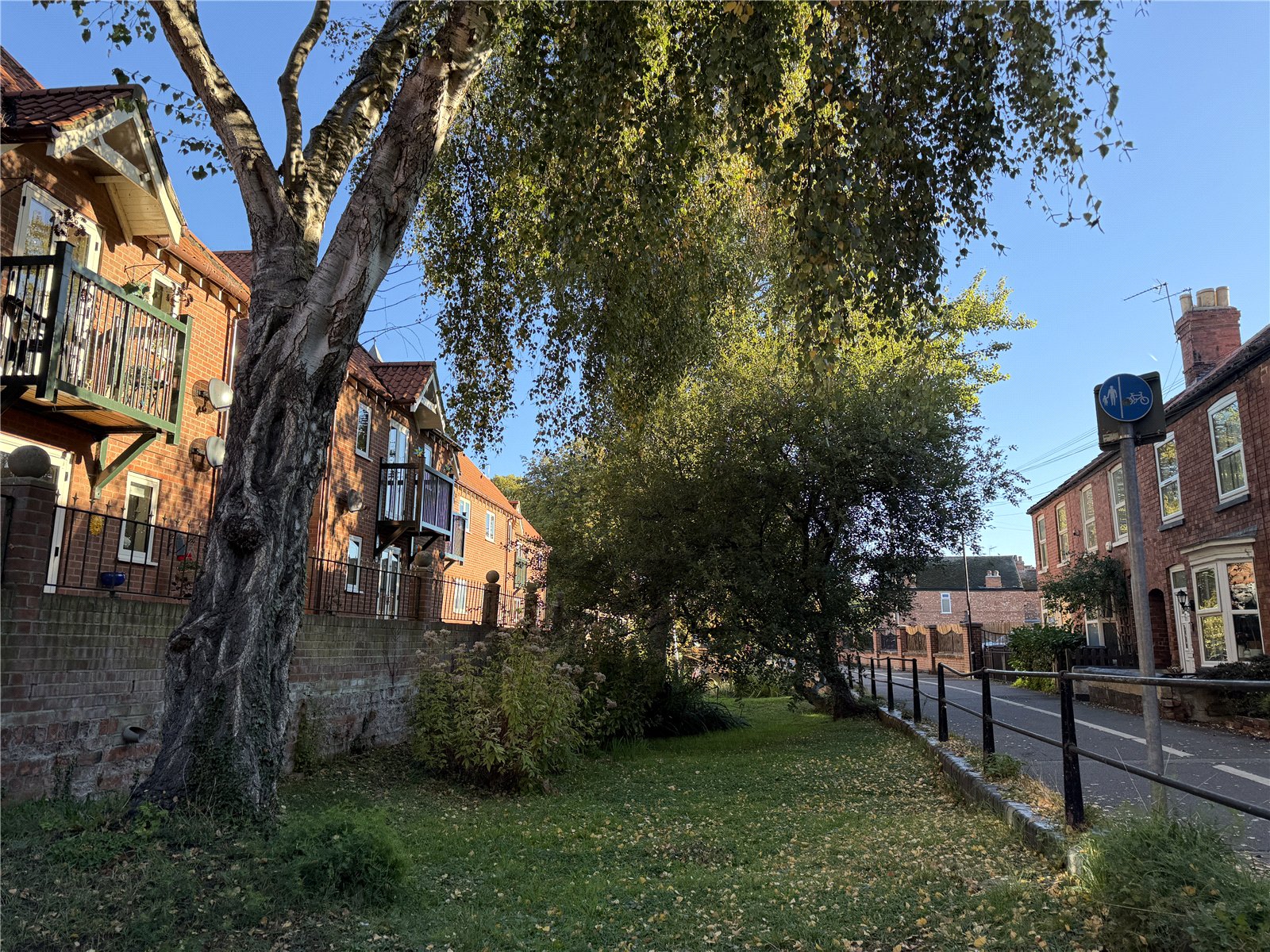
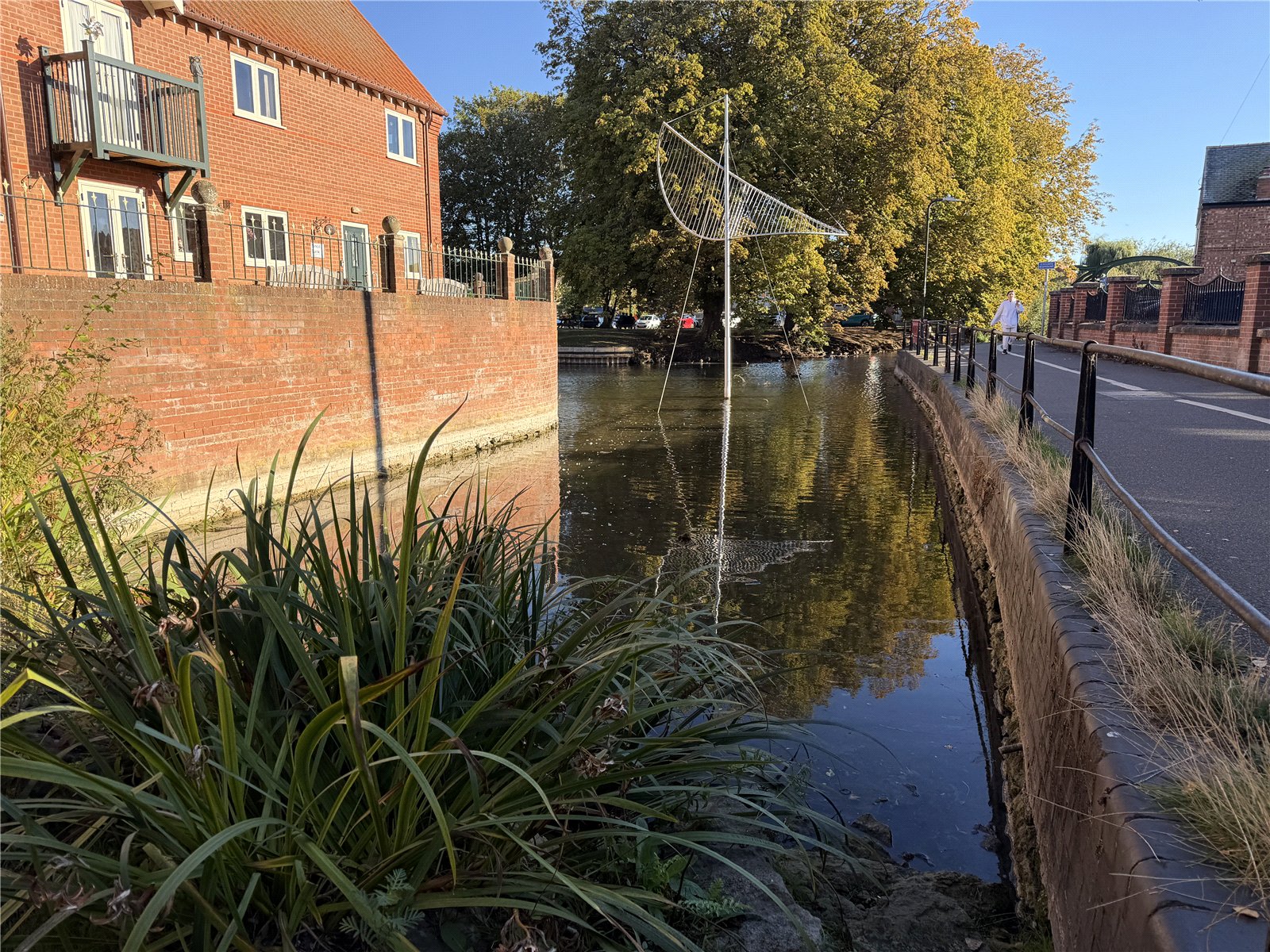
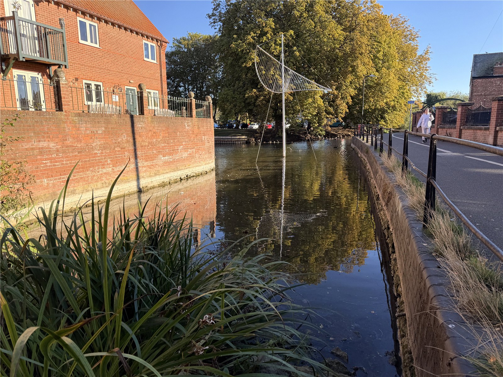
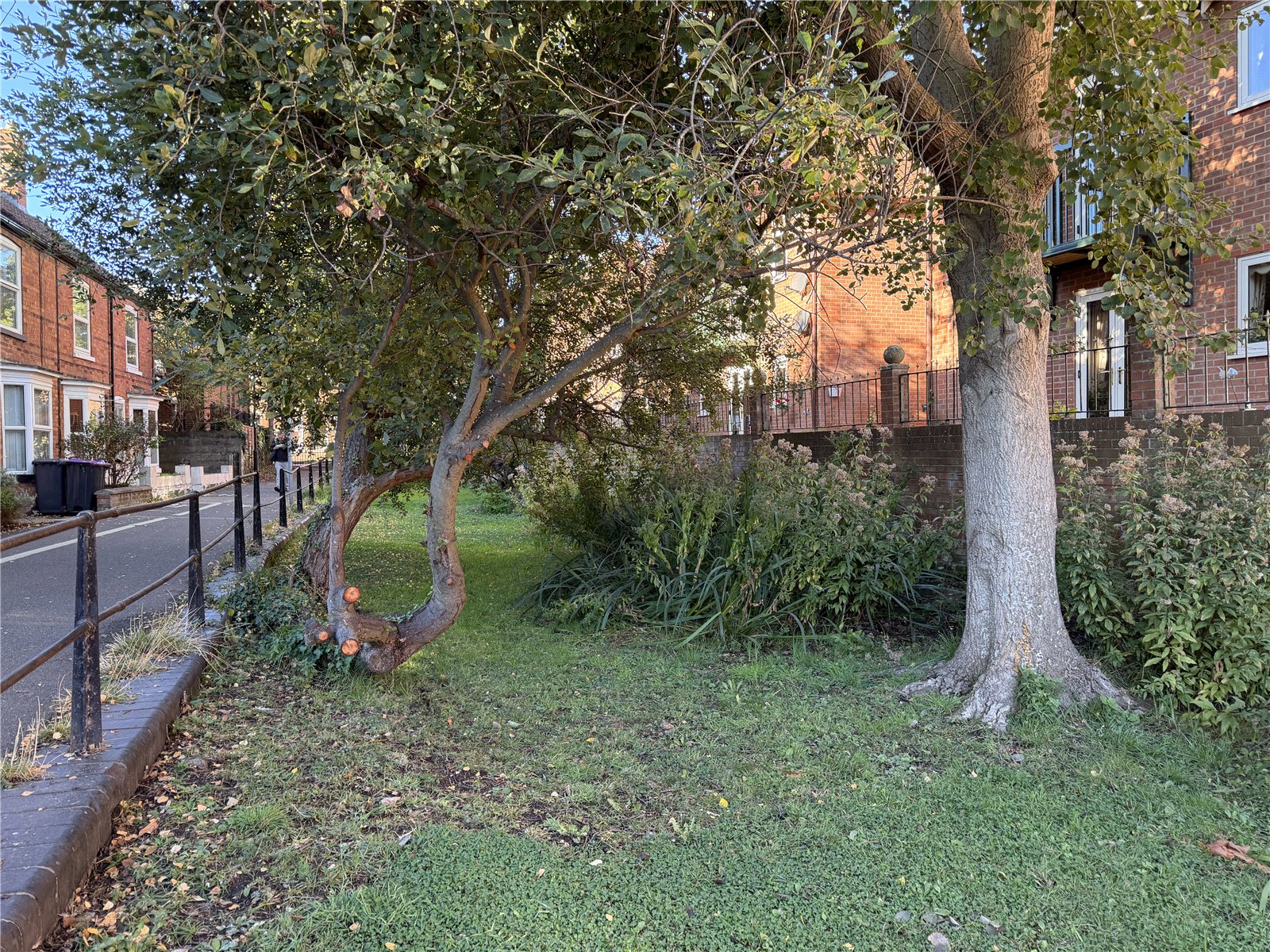
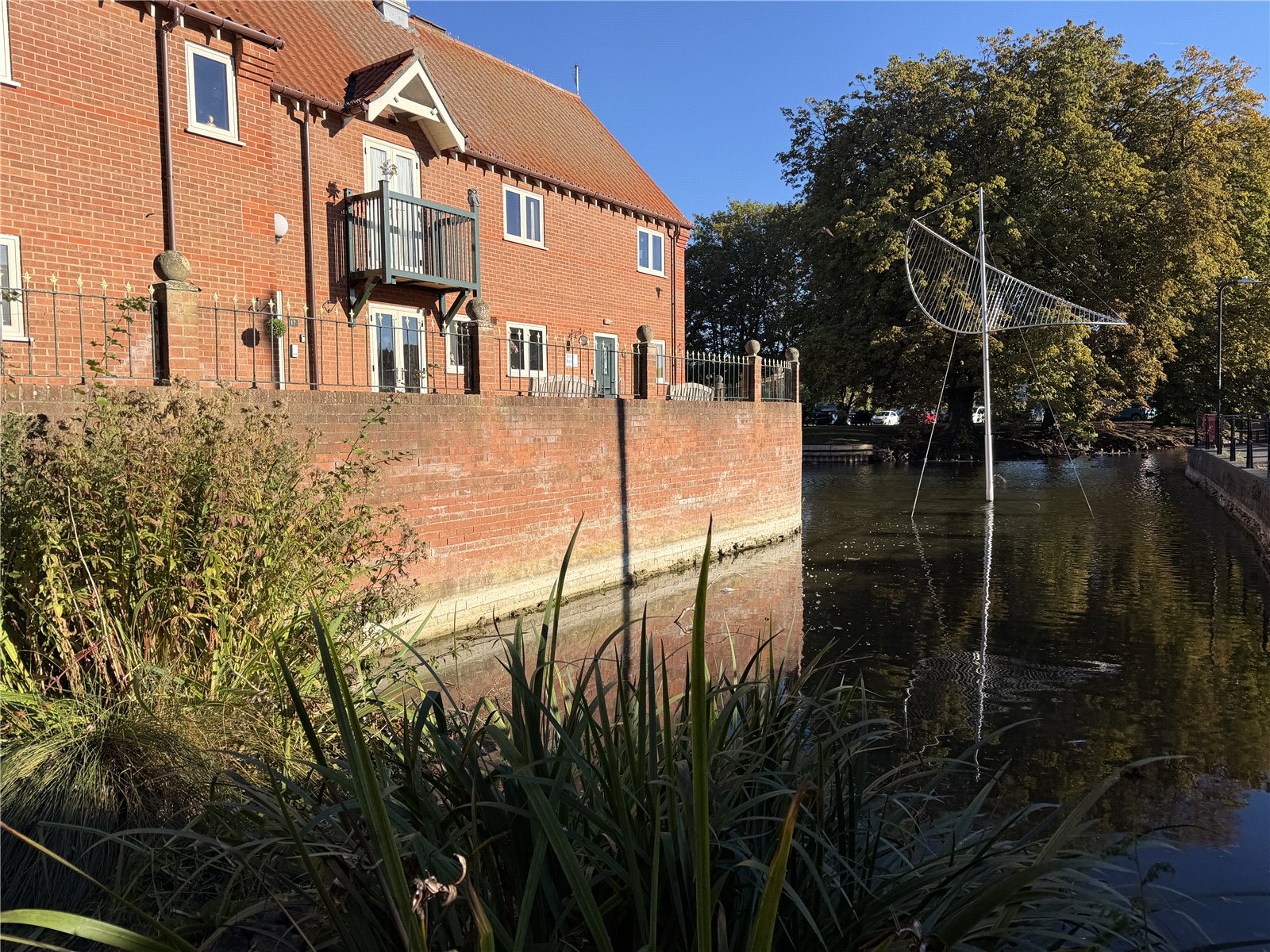
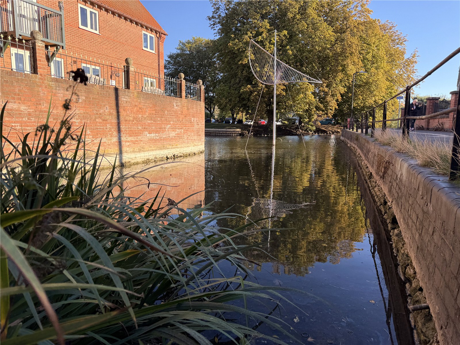
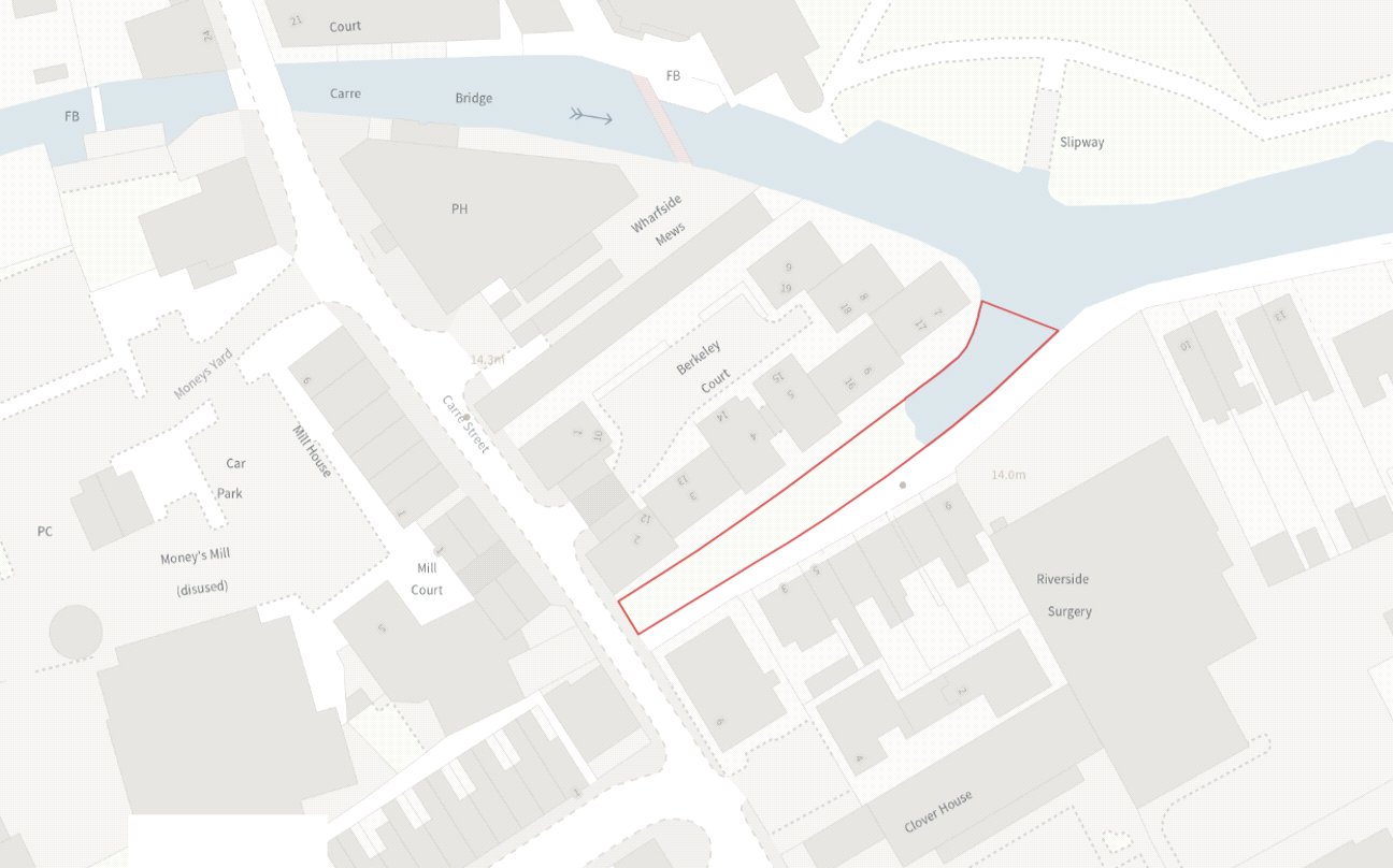
The former Navigation Channel & Public Art extends to approximately 513sqr metres and forms part of a former navigation channel. It retains direct access to the River Slea and lies within Sleaford’s Conservation area.
Description
The river remains navigable from the town centre to Cogglesford Mill for small boats and canoes.
The main feature of the Former Navigation Channel is The Sail, a steel sculpture at the eastern end of the site. The sale of the freehold includes the sale of the Sculpture. The Sail by William Lasdun was commissioned by the Civic Trust in 1999 and installed in 2003 to celebrate the Millennium. The design reflects the style of rigging that was used on barges transporting produce and other goods down the Slea to Boston, Lincoln and beyond in the late 18th century.
Services
No Services are connected. Purchasers should make their own enquires regarding availability.
Tenure & Method of Sale
Freehold with vacant possession, excluding The Sail which is formally loaned to North Kesteven District Council. The Council are responsible for its insurance and maintenance. The loan agreement can be terminated on 6 months’ notice from either party.
Wayleaves, Easements & Rights of Way
The land is sold subject to and with the benefit of all existing rights including Rights of Way either public or private, Light Support, Drainage, Water and Electricity supplies and all other rights, easements, quasi agreements, and all wayleaves, whether referred to or not in these particulars.
Viewings
The site can be visited at any time but must be viewed from East Banks. Anyone entering the site does so at their own risk as the ground is uneven with hidden obstructions (former landscape features) concealed by vegetation. A public car park in close proximity is available off Carre Street (Money’s Yard), Eastgate and Boston Road.
Plans, Areas & Boundaries
The Railings on the Carre Street (west) frontage are believed to be owned by Lincolnshire County Council. Railings on the East Banks (south) frontage are owned by Lincolnshire County Council who have indicated willingness to assist with their repair. The brick wall on the north boundary is owned by Berkeley Court. The areas and plans attached to these particulars have been produced in good faith. They are for illustrative purposes only and their accuracy is not guaranteed. The successful purchaser will be deemed to have full knowledge of all boundaries and neither the Vendor nor their agent will be responsible for defining the boundaries for the ownership thereof.
Local Authority
North Kesteven District Council
District Council Offices, Kesteven Street, Sleaford, Lincs, NG34 7EF.
Tel: 01529 414155
https://www.n-kesteven.gov.uk/